All my riding buddies were off on their own adventures I decided to have my own. I have always wanted to ride to the Roe Jan Brewery in Hillsdale, NY but never had the time or never made it. 5 or 6 years ago an attempt was made with my friend Shepard, starting from Wassaic but it was cold and raining and we were on the verge of hypothermia by the time we got to the Depot Deli so we turned around.
I parked at Kent Town all and plotted a route that would net me some more Wandrer miles and take through some different parts of Dutchess and Columbia Counties. I could not have asked for a more beautiful day. Perfect cycling temperatures.
From Kent, I rode into Dutchess County via Bog Hollow and then made my way over to Wassaic where I picked up the Harlem Valley Rail Trail.
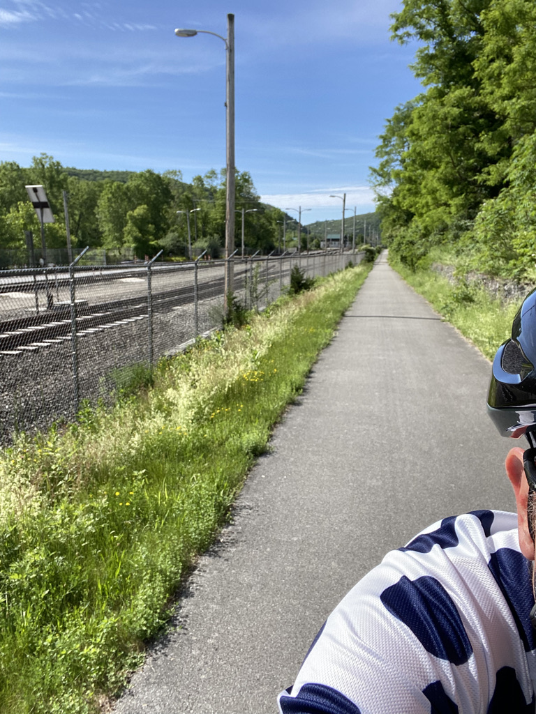
There weren't many people out on this end of the Rail Trail, which is good, because it can get rather congested as the day goes on. I was on the rail trail for only 3 miles until I got to Amenia as my route was taking me across Rt 22 and into the interior of Dutchess County.
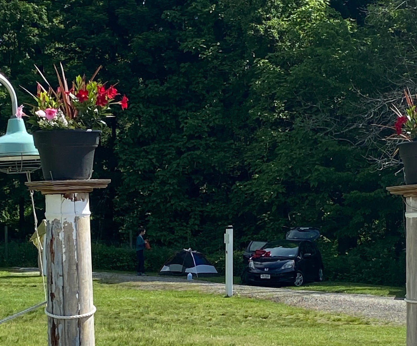
It appears they have some Airstreams that they rent out or if you want to really rough it appears you can camp out, too.
Then began a 5 mile climb up out of the Harlem Valley in to the more rural section of Dutchess County headed towards Ancram. I have done a few rides in the past through this area but not this far west, though.
The roads here are positively bucolic and never saw another cyclist nor did I see many cars either. I descended this really big hill reaching speeds over 40 mph until I turned off and made a discovery that was the farthest from my mind.
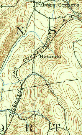
Here is a blow up from RWGPS and you can just make out the ROW turning the corner in front of a pond on the upper right hand side, trestle crossing the road and then hooking around the two high points and crossing the road again headed towards the center of the image.
Here's my route from RWGPS where I have drawn in the approximation of the ROW
Somewhere in that mass of shrubbery (looking west) must be an abutment for the trestle
I have been to Ancram before, only not from this direction. Will and I did a ride during the initials stages of the pandemic in which we road Mt Riga and then came over and rode over in this part of Dutchess County on all the dirt roads that I knew about. See Pandemic Ride in 3 States. We came upon this storefront but it's not really a store.
The Ancram Little Store is a little further back from the town center and it appears to be a good eatery and place to fuel up. The next time I plan a ride through here, I am going to put this as a stopping point.
Leaving Ancram my route took me to West Copake where I would get some good glimpses of the Taconic Range. Before I even got there, though, I had to save a turtle that was crossing the road.
A woman drove by, stopped and then backed up to make sure I was moving the turtle in the right direction.
Which I did
One thing that I happened to notice starting when I crossed Rt 22 and climbed up into the Millbrook Plain was a munching sound coming from the woods. Then I remembered last year riding through these parts seeing massive defoliation on the other side of the Harlem Valley that could only be the result of Gypsy Moth Caterpillars.
While riding through here, especially when climbing I went out of my way to try and run over as many as possible.
On Four Corners Road I came across another grade crossing, this one for the Central New England Railway. This view is looking east
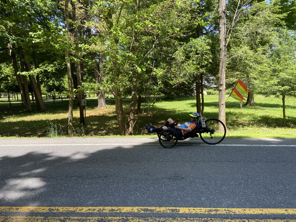
there was a woman riding a three wheeled recumbent. This part of Copake is pretty flat but there are some hills and I wonder how that things does then.
In my mind and in order for this ride to be called a Roubaix there has to be some dirt roads. Unfortunately, First Dirt, didn't occur until I was almost 42 miles into the ride and it wasn't terribly long but it was part of a climb on a category 4 hill.
For some reason I alway had this impression that getting to the Hillsdale section of the Harlem Valley Rail Trail would be easy but it's really not. There's a lot of climbing involved unless you want to just drive start in Hillsdale.
It was filling but not heavy and never got hungry during the rest of the ride.
After lunch I jumped on Rt 22, which is a NY State bike route but through Hillsdale didn't have the best should shoulder to ride on.
One of my favorite places along Rt 22 is Pigasso Farms
After Hillsdale, the shoulder was fine and while the cars do speed past you going 55 to 65 miles an hour (I know this from personal experience) it was surprising not to see a ton of cars.
The view from the road is magnificent as it travels the west side of the Harlem Valley and the east side is blocked by the Taconic Range. Eventually, I got down Millerton and jumped onto the Harlem Valley Rail Trail for a mile. I met this older gentleman named Alex from NYC whom I thought initially was on eBike and we were riding parallel for a bit, I was on Rt 22 and he was on the rail trail. I said let's race and then took off. Turns out he wasn't on an eBike and shortly caught up to me. Turns out he's a cyclist, too, just 20 years my senior and doesn't ride as often as likes, too.
From Millerton I rode east on Rt 44, actually paralleling the old Central New England ROW before turning south to ride over to Sharon. Riding past Lime Rock Park I turned south on Lime Rock Station Road where I was riding parallel to both the Housatonic River and the Housatonic Railroad main line.
Icing on the cake would be to have a train coming up the tracks
Coming into West Cornwall I went looking for Covered Bridge Electric Bikes but couldn't find the shop.
Near the top is this awesome church. In my pursuit of more Wandrer miles I rode up to Cornwall on roads that I have never ridden before and then headed back to do to the Housatonic River on Popple Swamp Road, which takes you under Routes 4 & 7, something I have never done before.
Coming off Route 7 I took Cobble Road, which turns into dirt as head back to Rt 7 but needed to stop at what I call the Sound of Music Money Shot.
Climbing up Cobble my Varia radar went off but I didn't hear a car. Then this woman passes me on her eBike followed by the husband. I am 93 miles into this ride and I barely have enough energy to climb the hill let alone chase down a few eBikes.
After 96 miles I sat down to wonderful meal at Kent Pizza Garden where I had the Mediterranean Salad, a Calzone with Pepperoni, and two pints of Samuel Adams Summer Ale!











Great stuff Mark and that's an epic ride!
ReplyDelete